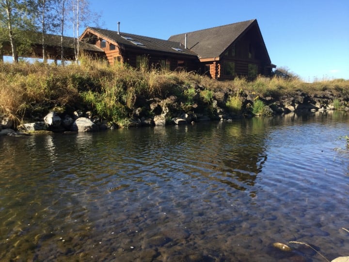
 NSD’s work revolves around water – how much there is, where it is going, and how it gets there. We routinely apply hydrologic and hydraulic modeling tools to help us understand these essential flow processes and test our management options. Our technical staff provides extensive hydrologic, hydraulic, and sediment transport modeling experience across a broad range of platforms. We commonly use HSPF, HEC-HMS, HEC-RAS, and RiverFlow 2D but are adept at using many other available modeling tools.
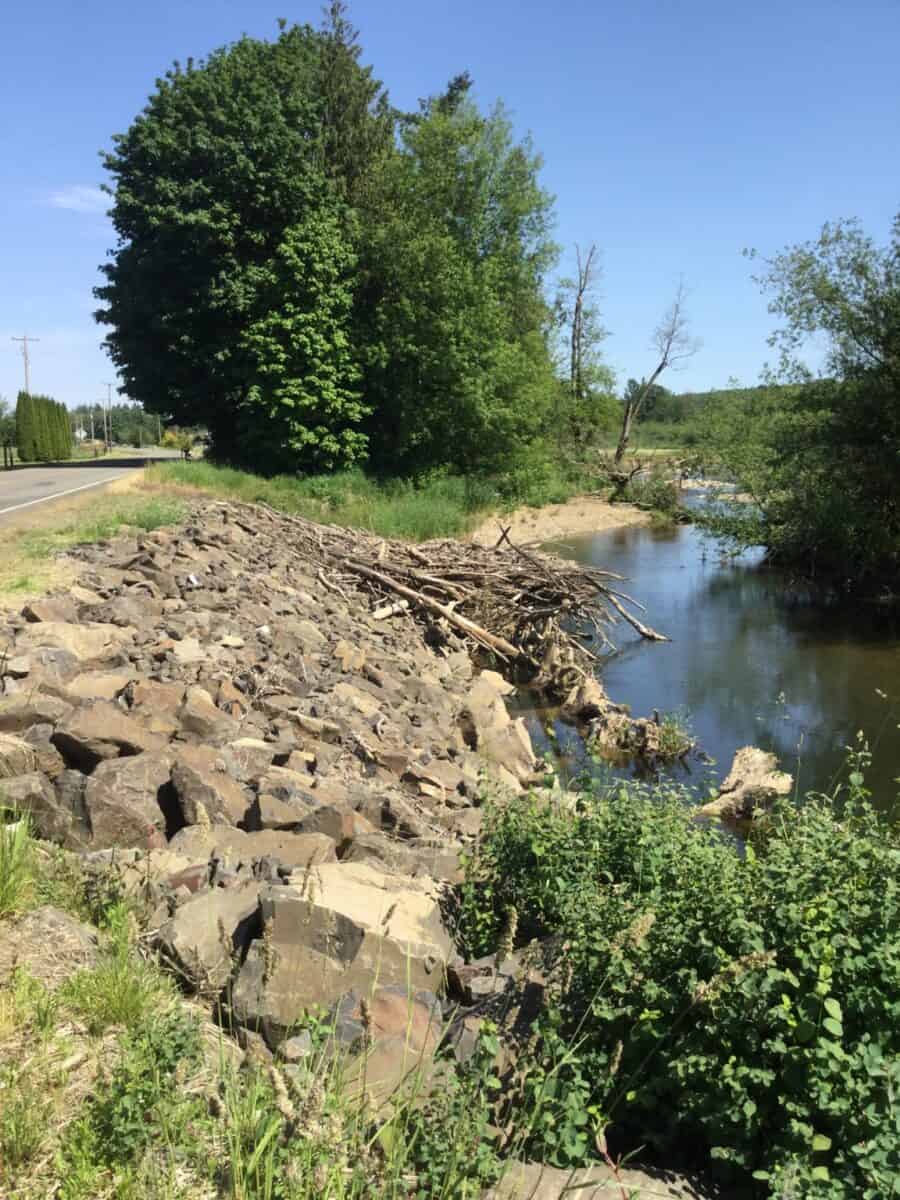
We utilize hydraulic models extensively to support our geomorphic analysis and restoration designs. Restoration designs are highly iterative and recent advances in 2D hydraulic model computing time allow us to test many versions of our design to understand how restoration elements (e.g. spacing, width, and height) interacts with flow to create and sustain habitats. We also model future changes to test how changing climate will influence flow volumes, how future risk will change, and how habitat will develop over time.
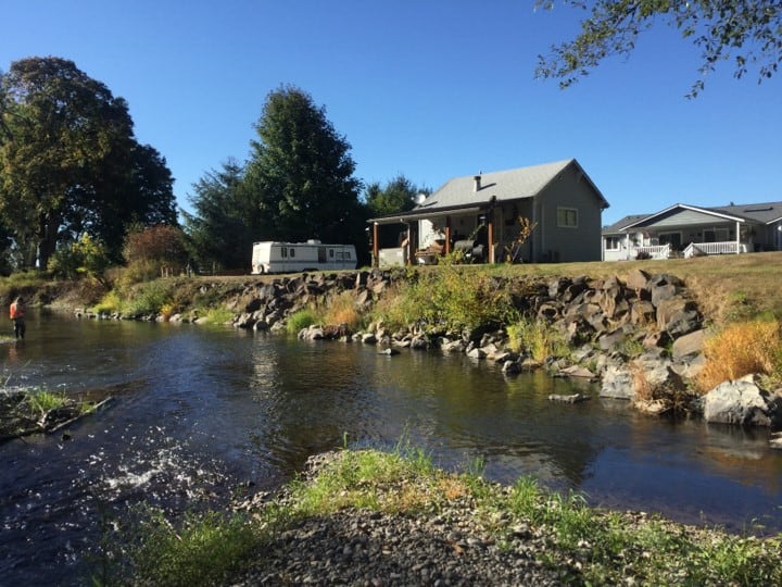
NSD also has three Certified Floodplain Managers (CFM) on staff who support mapping of existing and future FEMA floodplains. Our projects often have to result in no rise of the existing base flood elevation, or require floodplain re-mapping with associated Conditional and Final Letters of Map Revision (CLOMR/LOMR). NSD staff understand the requirements and timelines for these process and can successfully navigate a project through local and FEMA floodplain regulations.