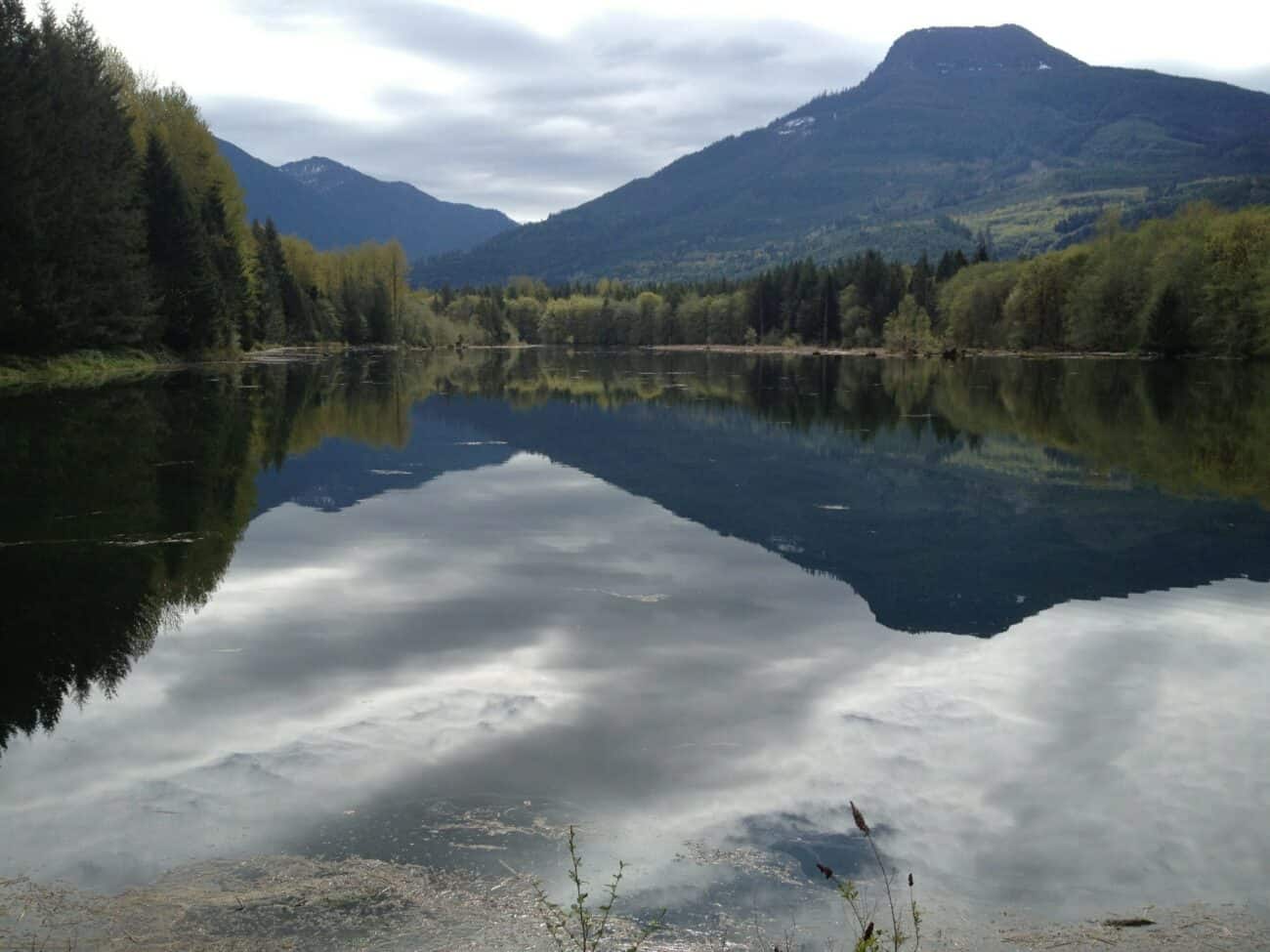
 Rivers are constantly changing as they interact with the surrounding landscape. The influence of climate, geology, biota (such as forests and beavers) help form the character of a river. But, the dynamic nature of these interactions means that rivers and their surroundings are both constantly in flux as they adjust to new conditions. These changing conditions can have big consequences for all aspects of river ecosystems and the communities that depend on them. NSD geomorphologists are experts at assessing ever changing river systems in order to develop an understanding of what the system used to look like, why it is changing, and the trajectory of where it is going.
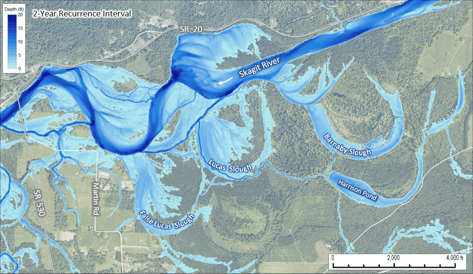
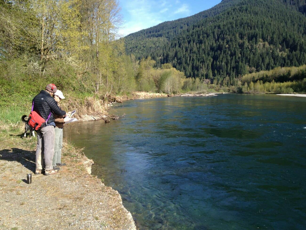
Geomorphic assessments are the foundation of NSD’s interdisciplinary, process-based approach to restoration and river engineering. Through on-the-ground (or water) observations and analysis of geospatial data, our geomorphology team works to identify the underlying causes of river related problems such as habitat degradation or flooding/erosion and helps develop holistic solutions to solve them. Our assessments can help address questions on landscape evolution, develop sediment and wood budgets, or quantify habitat conditions and support a multitude of project types. We are experts at landscape forensics, determining the types of disturbances that have occurred over time and their consequences, whether to habitat, infrastructure or property. We also utilize quantitative tools to assess stream bank stability, rainfall-runoff relationships, linkages between surface and subsurface (groundwater) flows, erosion and sediment transport, channel migration, and many other geomorphic problems. Our team includes licensed geologists, engineering geologists, professional hydrologists, and hydrogeologists and brings decades of experience and practical problem-solving skills to every project.