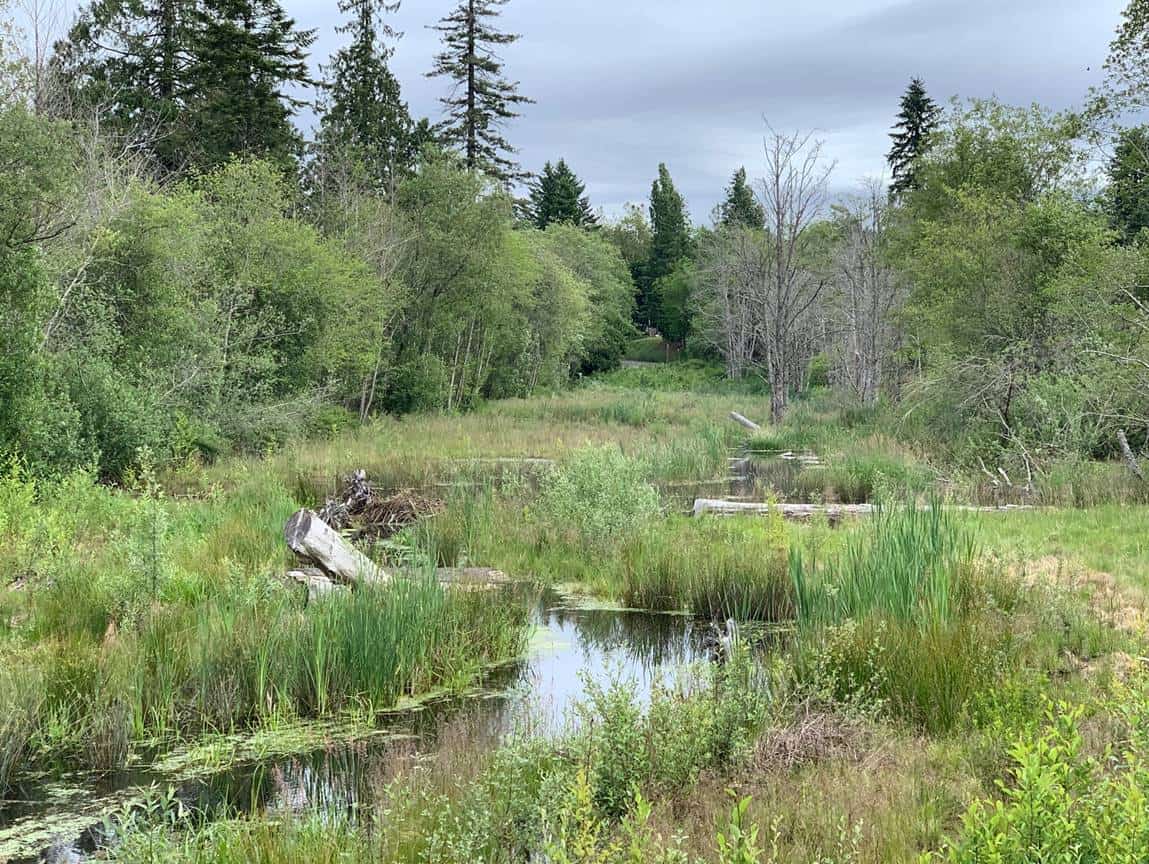
 Floodplains are dynamic landscape features that provide a wide range of ecosystem services that benefit our local communities. Historically, floodplain areas have also been desirable locations for agriculture, transportation infrastructure and land development projects that are susceptible to flood and erosion damages. NSD provides technical assessments to give an informed understanding of the potential consequences of flooding and erosion hazards that affect existing infrastructure or environmentally sensitive areas. Our interdisciplinary staff bring together expertise in hydrology, ecology, fluvial geomorphology, and hydraulic engineering to identify hazards and support the development of sustainable design solutions. We utilize 2-dimensional hydraulic modeling tools to simulate flows, evaluate floodplain connectivity, and map spatial patterns of flow velocity and shear stress. Previous assessments include advanced simulations to consider variations in sediment supply (e.g. bed aggradation) or projected climate changes that may result in higher peak flows. We pair the hydraulic analysis with geomorphic characterization of the floodplain topography and landforms to delineate channel migration zones and potential avulsion hazard areas. Principal geomorphologist Dr. Tim Abbe developed a framework for delineation of Channel Migration Zones in 2003 that remains the industry standard and frequently applied by state and federal agencies. NSD has built upon this framework to develop assessments that support floodplain management and planning projects integrating ecological restoration with efforts to reduce flood and erosion hazards throughout the region.
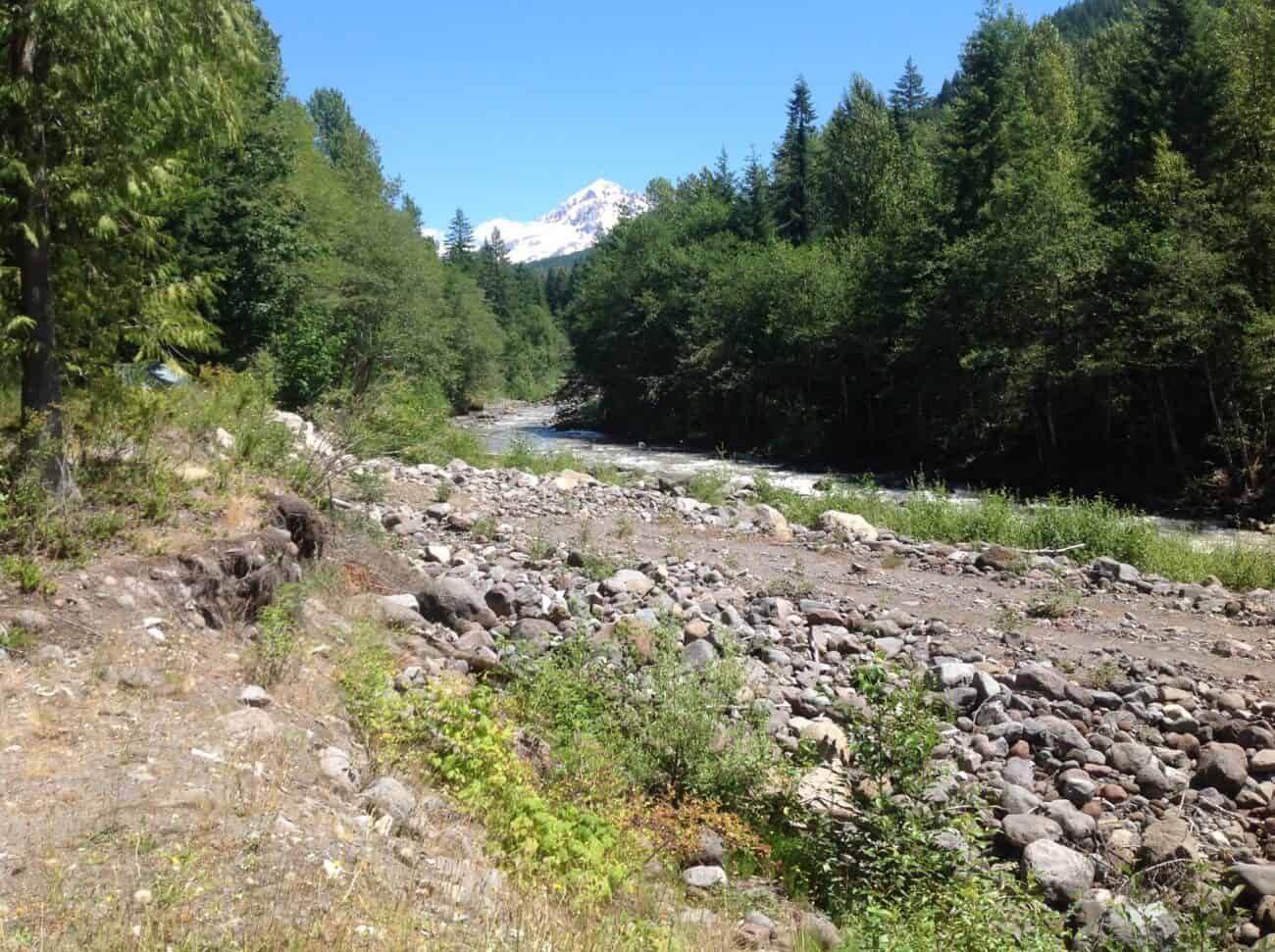